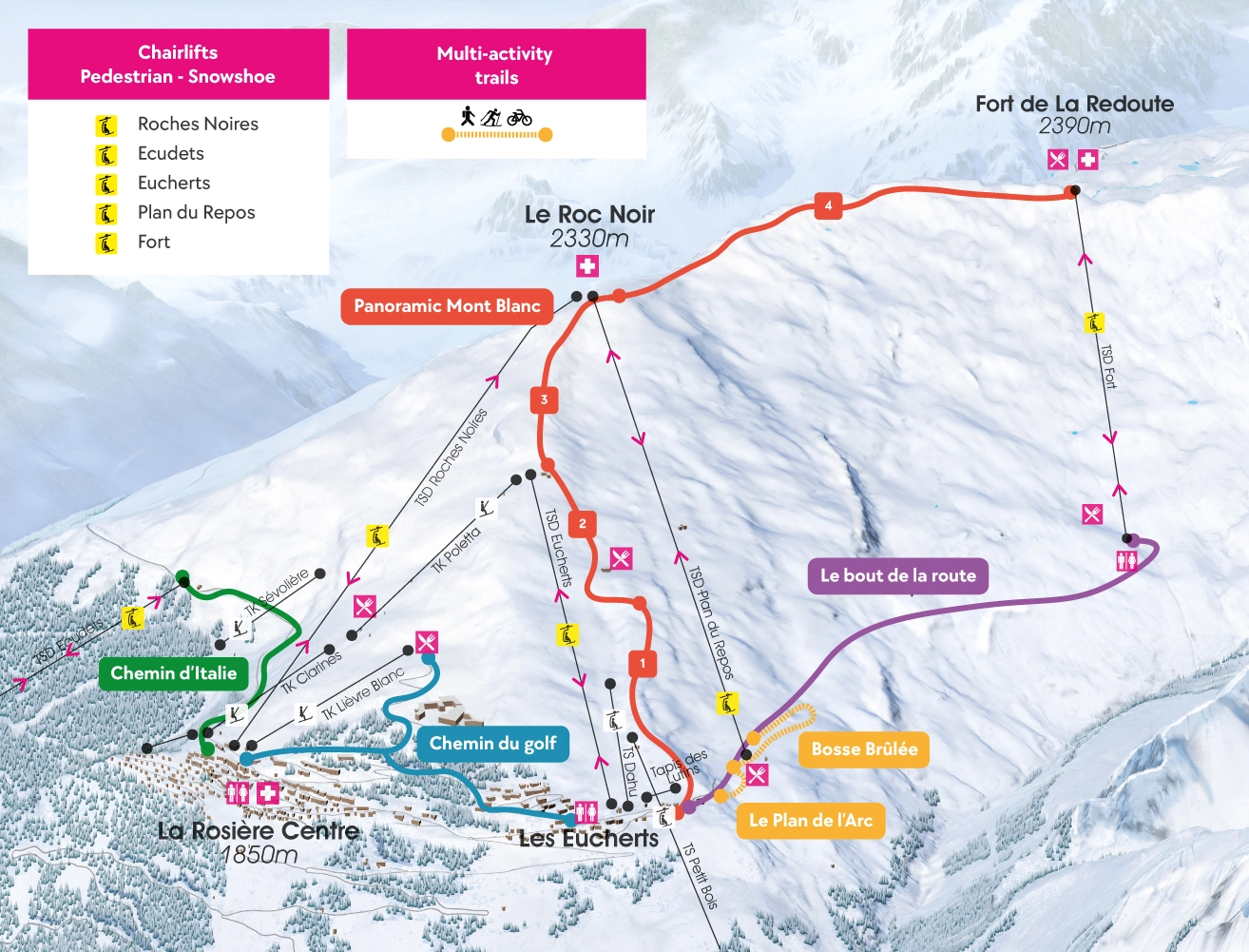
Le Panoramic Mont Blanc
Description : The trail is divided into 4 sections. You can adapt your itinerary to suit your mood and fitness, with sections of varying gradient, using the lifts or not.
This hike can be done on foot or with snowshoes, in whole or in part, since 4 chairlifts are accessible on the route (on the way up and/or down):
- The ascent via the Les Eucherts chairlift serves the Panoramic 2 and 3 sections.
- The Plan du Repos and Roches Noires chairlifts arrive on the Roc Noir platform to and from Panoramic sections 3 and 4. The Eucherts chairlift serves Panoramic sections 2 and 3.
- The Fort chairlift arrives on the Fort platform and serves Panoramic 4.
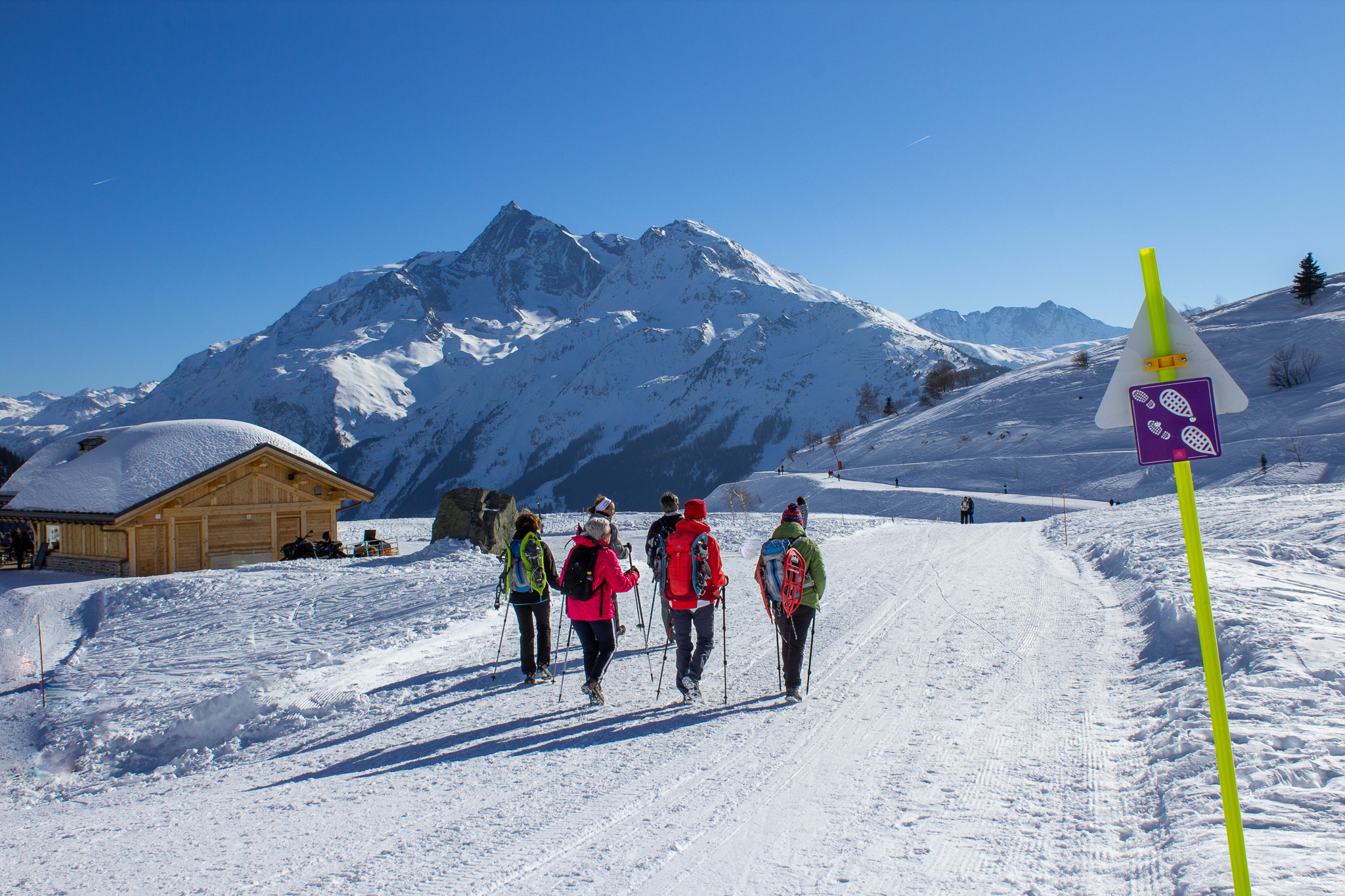
- Start: Eucherts village
- Duration: 3h one way, for the 4 sections of the Panoramic Mont-Blanc
- Difficulty: This is a difficult route
- Distance: 4510m
- Ascent: 538m
- Type of route: loop (with lift ascent and/or descent, requiring a valid Piétons-Raquettes pass)
Course details :
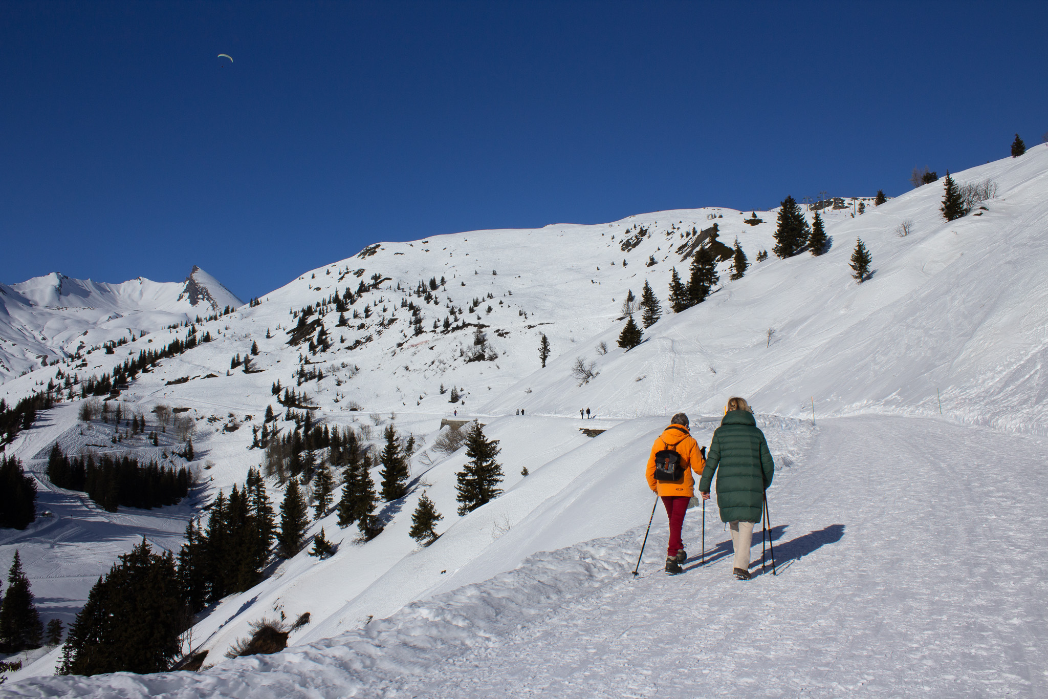
- Panoramic 1 (1130m, ascent 237m): The trail starts just behind the beautiful chalets of the old village of Les Eucherts, next to the Lutins beginners' carpet; you'll skirt the Cabri piste to reach the finish of the Petit Bois chairlift, then the ascent takes place along a ridge line that offers unobstructed views over a large part of the ski area and the Tarentaise valley floor and Tignes dam. On arrival at Le Plan du repos, take a break at the restaurant of the same name.
- Panoramic 2 (500m, ascent 113m) : Just behind the Plan du Repos restaurant, you can take the path that winds between the ski slopes and leads to the top of the Eucherts chairlift. For the less courageous, these Panoramic 1 and 2 sections can be done by chairlift.
- Panoramic 3 (890m, ascent 142m) : The ascent to the Roc Noir platform continues along part of the Gelinotte ski run. The finish is a feast for the eyes, with a view of Mont Blanc to the north and the whole Tarentaise valley to the south, with its highest point, Mont-Pourri, in the line of sight.
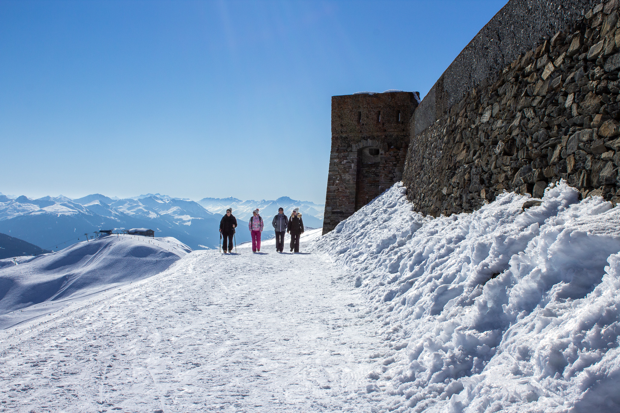
- Panoramic 4 (1630m, ascent 96m) : After the short descent to the Col des Embrasures, the path climbs back up to follow the ridge line. In just a few minutes, the Col du Petit St Bernard and its hospice come into view, while the majestic view of the roof of Europe remains intact. Just before the finish line, you'll pass the Fort de la Redoute Ruinée, a key site in the defense of the border during the Second World War. Finally, next to the fort, a stop on the footbridge in the Panoramic Experience void is a must to immortalize this hike with Mont Blanc in the background.
If you'd like to make a loop, come back down via the Fort chairlift and take the Chemin Bout de la Route to reach the village of Les Eucherts.